Saturday, 19 July 2025

07-18 Gore Bay

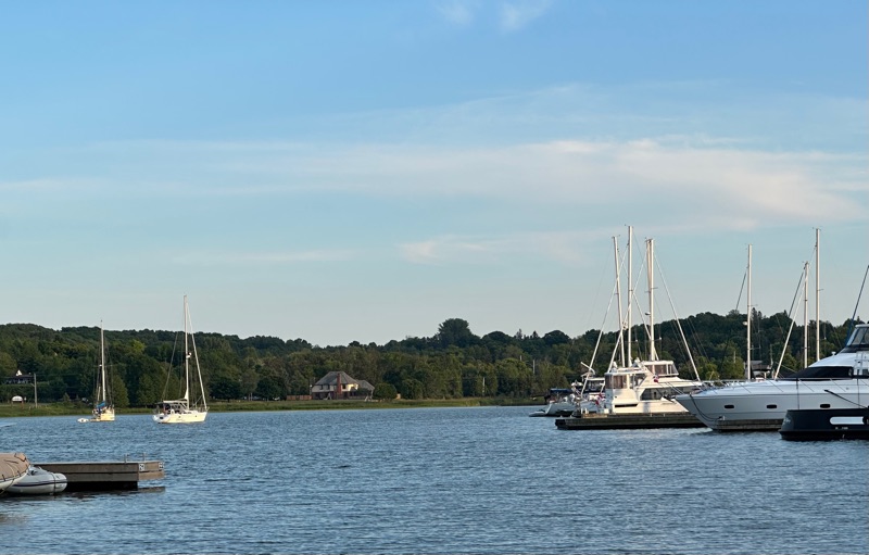
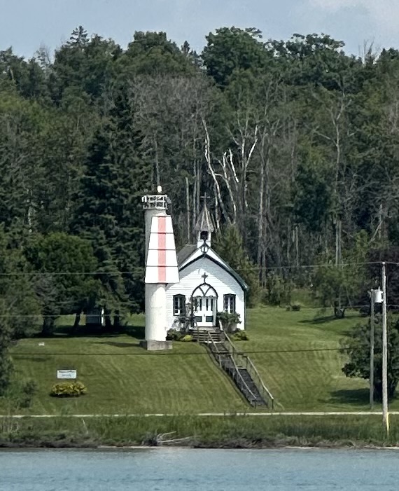
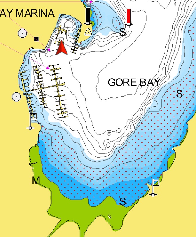
There’s now a break wall extending almost out to the red mark.

We did a huge grocery shopping and the cashier allowed as how it might be OK to take the cart to the harbour as long as I brought it back. Judging by the collection of carts at the marina, I was one of the few reliable souls 😉

CYC has a well stocked marine store, including smoked and frozen local fish. Quite a few boats anchor out in the bay for free and there are signs in the bathrooms reminding them the showers (8/10) are for moored bots only!

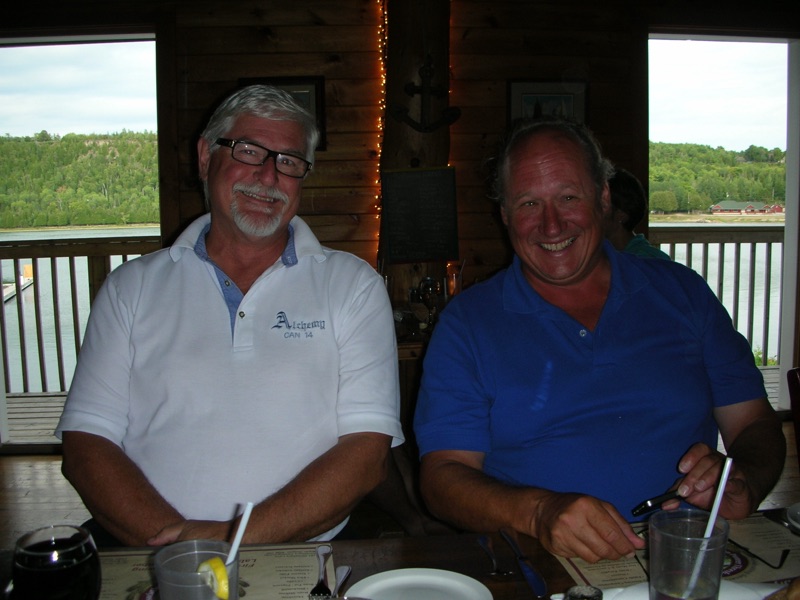
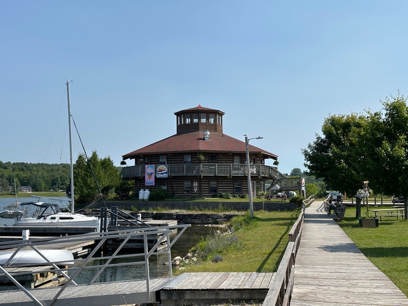
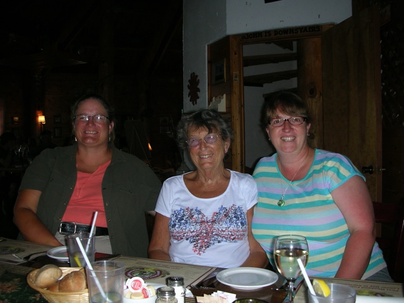
The octagonal restaurant is still there, but is now Purvis Fish and Chips (est 2021), not the old place where we had a wonderful meal with Mary and Ralph and Marjorie back in 2012.

Thursday, 17 July 2025

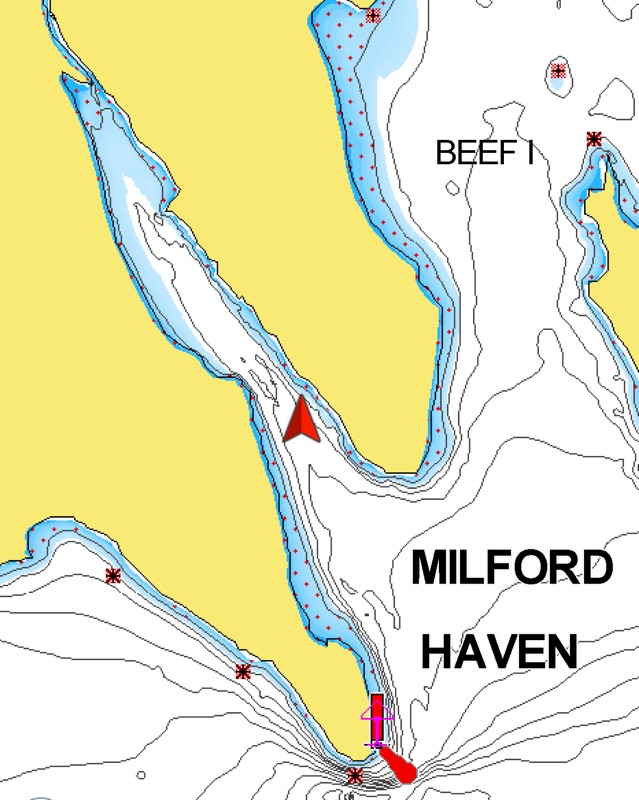
07-16 Milford Haven, St Joseph’s Island

The forecast was 20 knots from the northish, so this narrow bay seemed a good pick. There was another sailboat much further up and our holding was good down here. Trees all around meant we saw only about 10 when it was blowing 20.

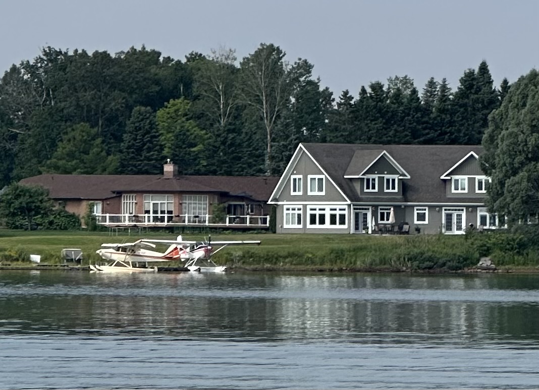
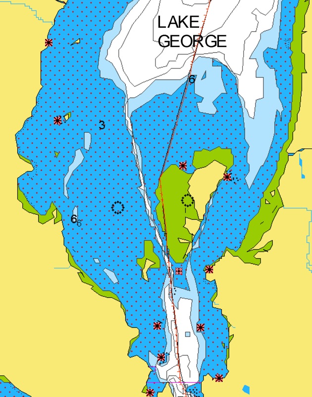
We took the longer, but Canadian, Lake George route on the way down. There seem to be a lot of float planes just out of the Soo on the Canadian side. These guys had two at the same dock!

The channel isn’t as narrow as it looks and I never saw less than 12 feet.

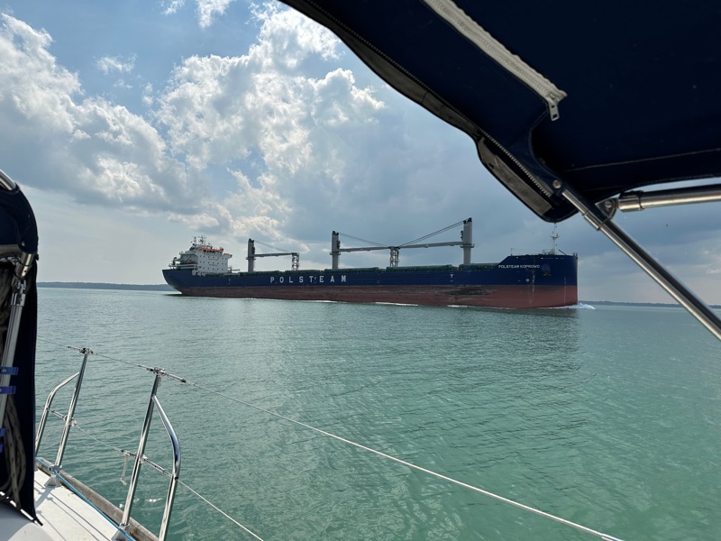
Back out in the shipping channel the scale is much bigger.

07-17 Vidal Island

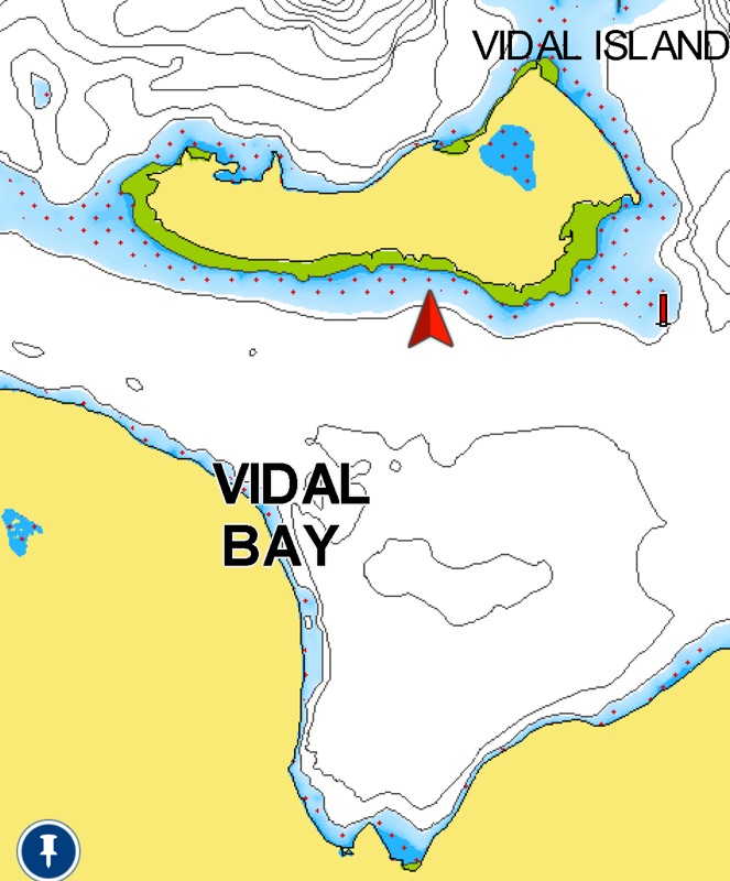
We tried further west and found a rocky bottom that the anchor skipped along the top of. Amazing how clear the sound is coming up the all chain rode. This spot grabbed much better!

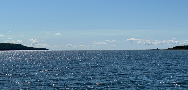
We started the day on a 60 degree reach in 20 knots with genny alone and finished with the main out, 110 degrees and less than 15 knots. A great sail, but cold in a north wind. Tonight’s low is forecast at 9C!

At least the rain stopped by noon, yielding to sunny blue skies by the time we got here.

Tuesday, 15 July 2025

07-15 Back in the Soo

Coming down the lock was as easy as going up and a little faster. Which is good because beating into 20 knots is hard work on any boat. We decided trying to tack up the shipping channel was a bad plan, especially given the hard edges in places. Downtown Sault Ste Marie is pretty noisy after Batchawana Bay!

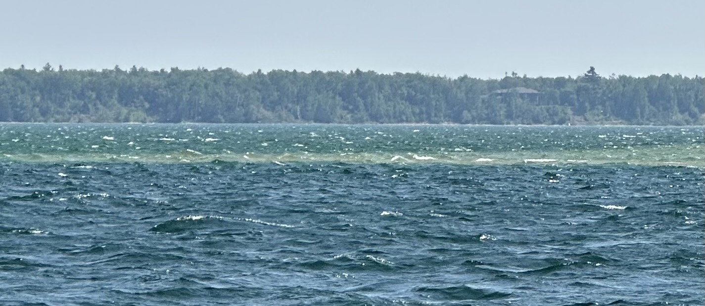
That sudden colour change is the difference between 30 feet and 3 feet, so we motored up the channel.

Monday, 14 July 2025

07-13 Batchawana Bay

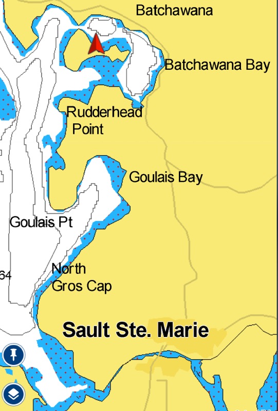
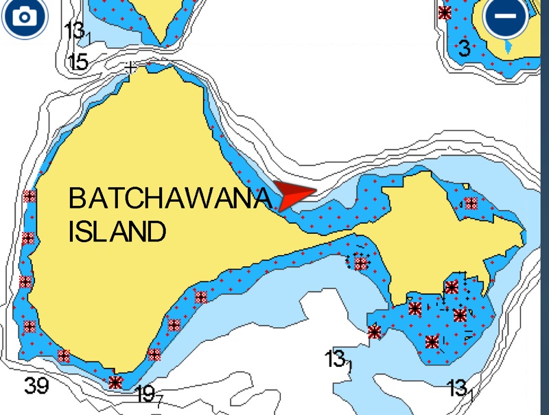
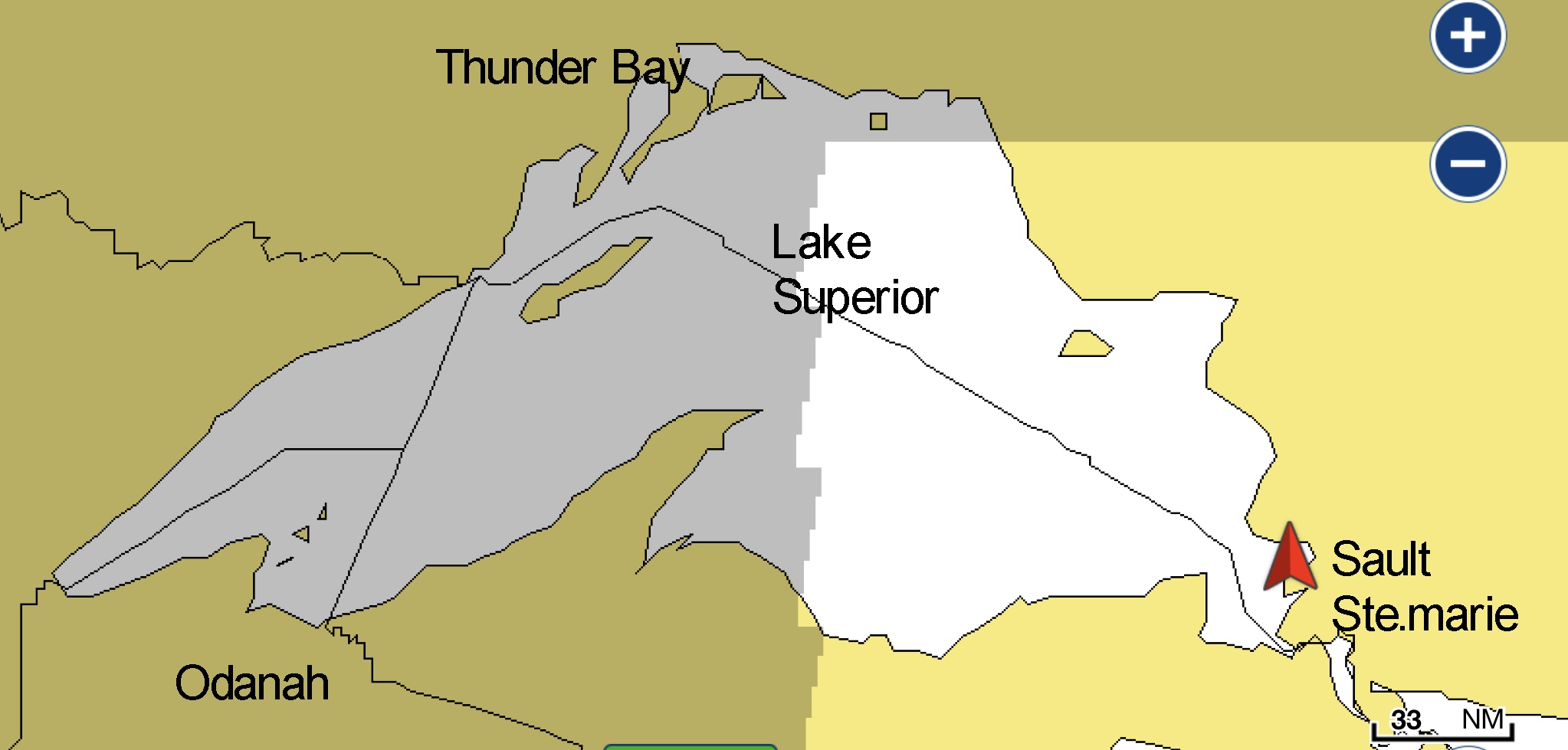
We are in Harmony Bay, a subsection of Batchawana Bay, which opens off Whitefish Bay, one small corner of Lake Superior. It’s not intuitively obvious what the scale is just from looking at the chart and that makes it worth a visit all by itself. The water is a surprisingly warm 24 degrees in this little bay, so swimming was not such a daring move.

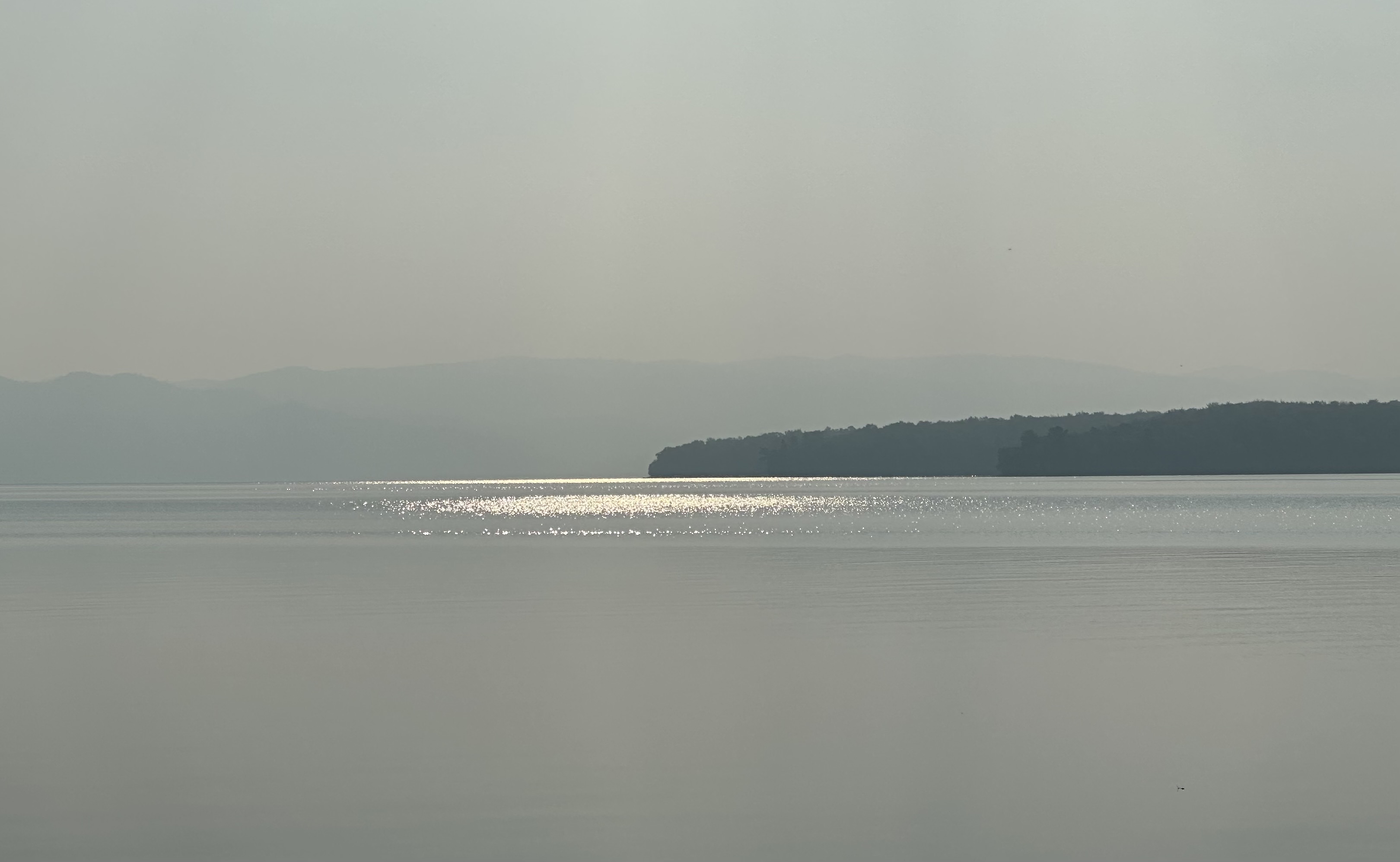
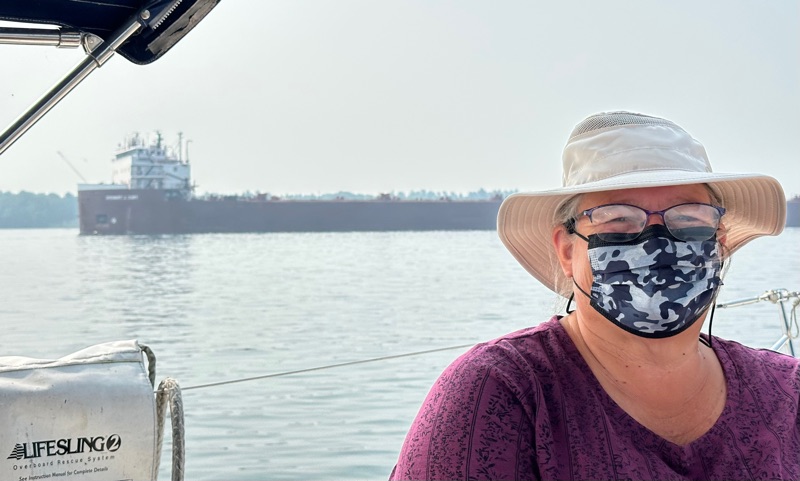
We are about 1/3 of a mile offshore in 20 feet of water on a sandy bottom. We tried to dinghy closer but it was about 2’ deep by the time we were half way there. The smoky hills rising above highway 17 look a lot farther away than they are. It was thick enough we pulled out the masks on the way here.

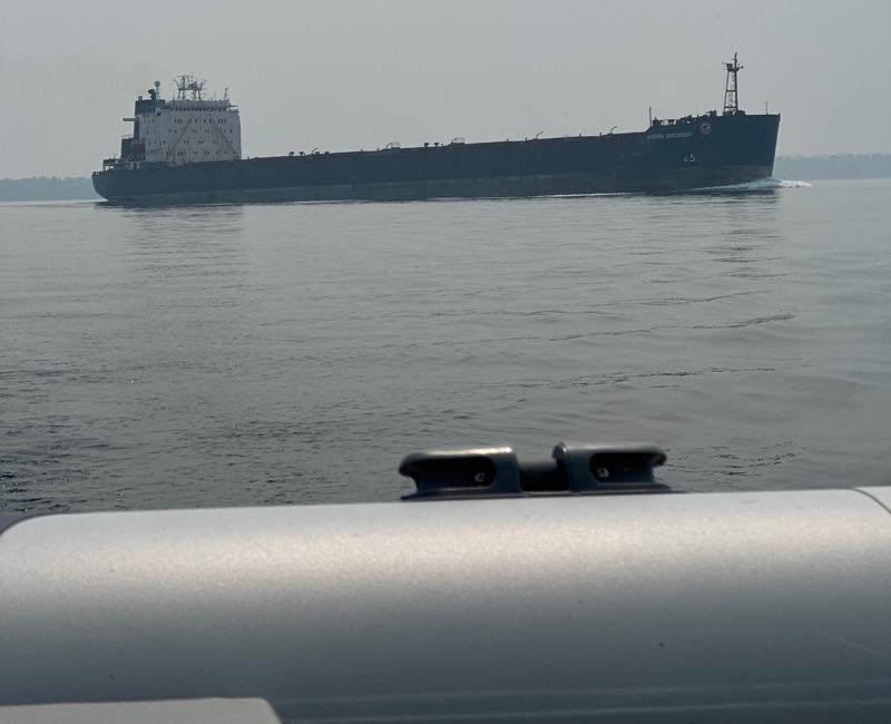
We were followed out of the Soo by the Algoma Discovery. Jamie says “Yes definitely be careful! They're surprisingly fast for being a bathtub filled with rocks”

A little reading makes it clear you need Jerry cans of fuel to venture further into Superior.

Saturday, 12 July 2025

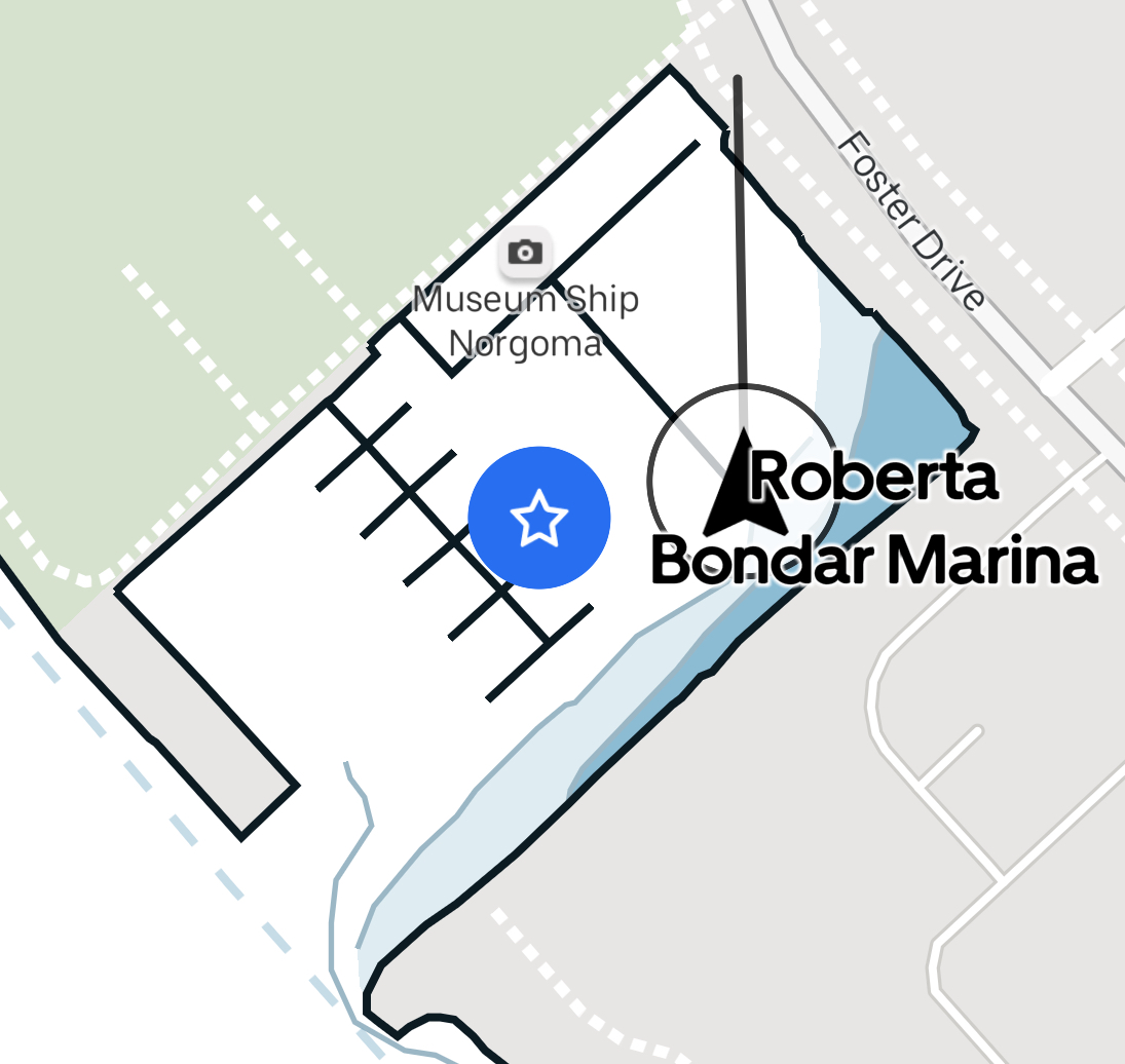
07-11 Roberta Bondar Marina, Sault Ste. Marie

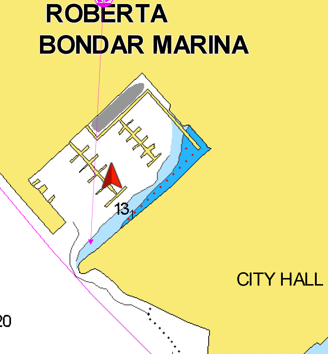
 It was a long drive, but we're here! The current in the marina entry is substantial, so approach from offshore and get your transit right. The 28 foot docks are significantly shorter than Night Heron, and the cleats seem randomly placed. However, all the facilities look almost brand new, it is in the heart of town and the $2.25/ft includes HST, so definitely not the most expensive stop.

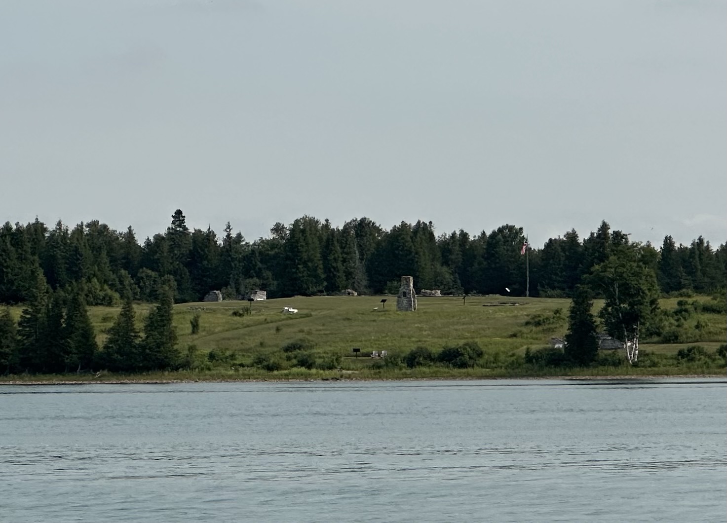
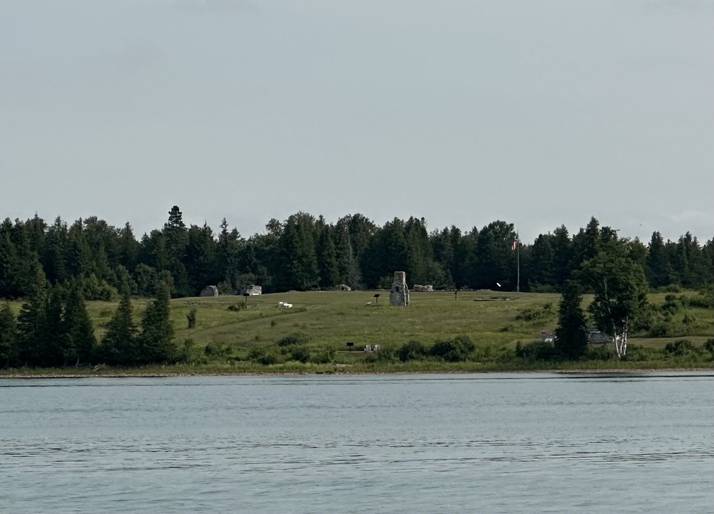
We weren't sure what we were looking at from the water, but it was a National Historic Site! https://www.pc.gc.ca/apps/dfhd/page_nhs_eng.aspx?id=518 They have way better photos than this one of the old fort on St. Joseph Island.

There was a sailboat following us towards Sault Ste Marie from first thing in the morning. On the AIS we could see they were "Green Ghost" and were going a few tenths faster than us. They had just about caught us when they turned off to go the Canadian route through Lake George. We took the main channel for depth and ease of navigation. Nick and Jennifer told us later at the marina they picked the Canadian side because they weren't sure about entering US waters. I had figured the Seaway rules about being in transit would cover us and we didn't see anything more governmental than the Sugar Island Ferry. All the Canadian boaters we have met are wary of the US this year, but the Americans aren't talking about the border crossing. We have a hypothesis that the size of the wake corresponds with political alignment.
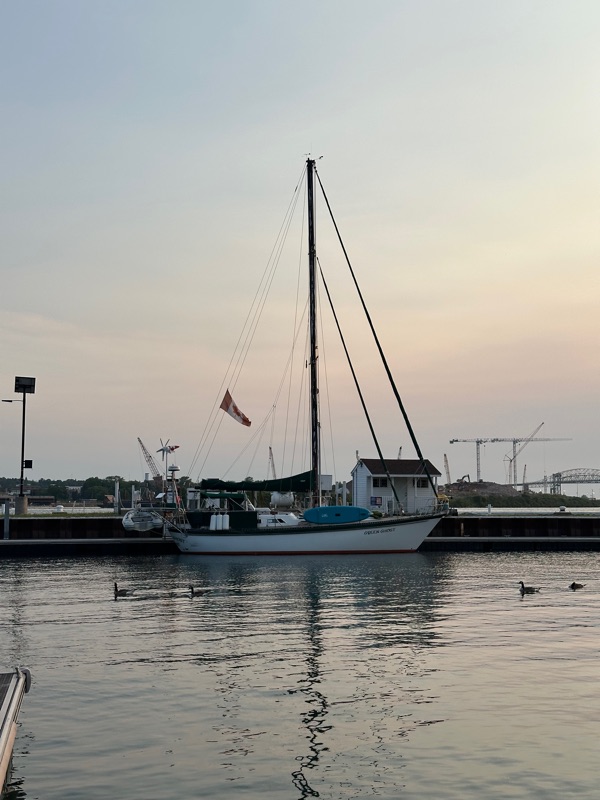
A lazy day at the dock on Saturday the 12th, as it rained just about all day.

Right across the river is one of the oldest large generating stations in the US. It looks very elegant, as if maybe it should be converted to condo lofts ;-)  https://en.wikipedia.org/wiki/Saint_Marys_Falls_Hydropower_Plant

Friday, 11 July 2025

07-10 Hilton Beach, St Joseph’s Island

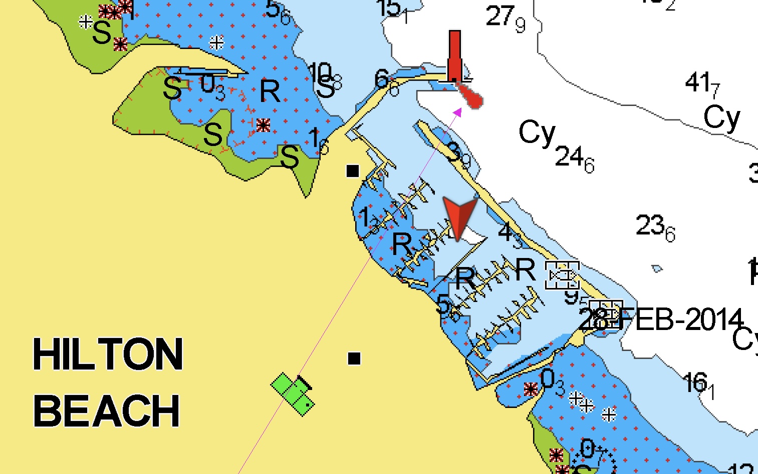
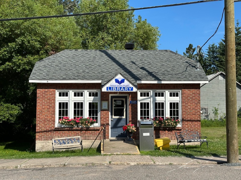
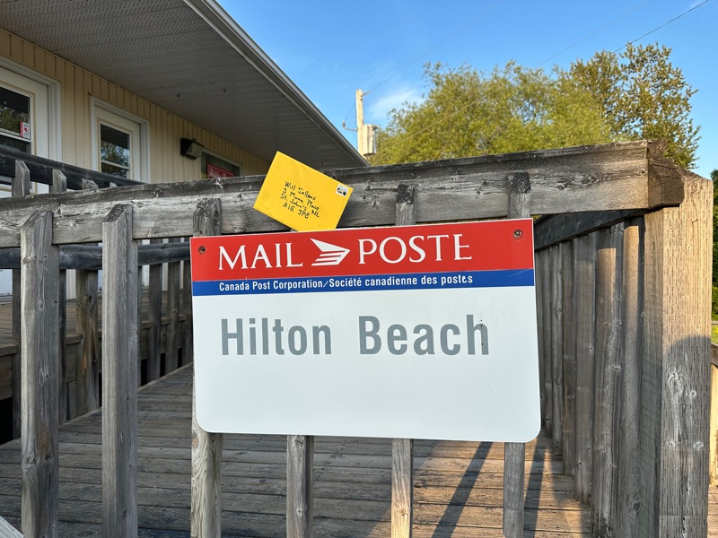
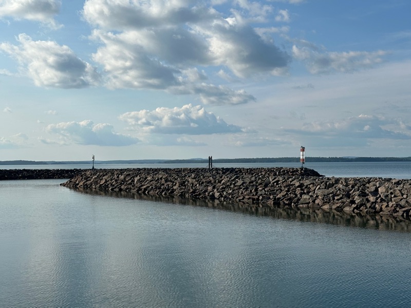
It was a little extra distance, but allowed us to replenish diesel and water tanks. The harbour is 12’ plus deep inside a massive break wall. The village is looking a little down, but the library and post office are still operating, as is one of the restaurants and the general store.

The harbour includes a large Tanzer 26 population and a big old IOR boat named Aurora that should have been landfilled. The level of decay was depressing.

Now on the way up the St Mary’s River, we passed the old fort at St Joe Point, or so it says on the chart. Looked like it might be interesting if approached on land.

Thursday, 10 July 2025

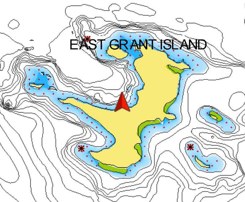
07-09 East Grant Island
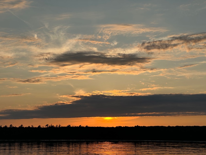
20C water, which Laura found refreshing. I had taken a long shower in the continuous hot lake water available while motoring and skipped the swim. We had an unforecast couple of hours of westerly around midnight, which required a little watching, but the anchor held and we didn’t swing in too shallow. The bay is lovely and we had it all to ourselves, but it is exposed to the west.

Wednesday, 9 July 2025

07-08 Clapperton Harbour

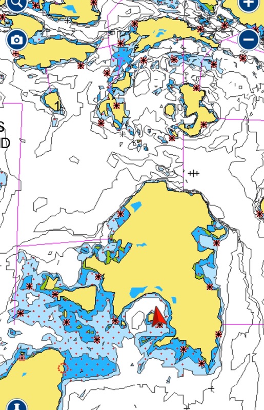
Nice big, well protected spot on the south side of Clapperton Island. We shared the space with one other boat. You can see the circle of the famous Benjamins to the north. We’ll stop there on the way back if it’s not too crowded.

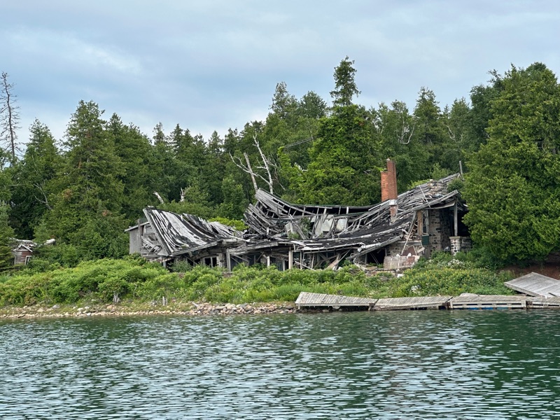
There’s an old lodge on Harbour Island that has apparently been abandoned since the ‘90s. Sounds like it has a colourful history and someone has been thinking about a comeback. http://harbourisland.ca/index.html

Tuesday, 8 July 2025

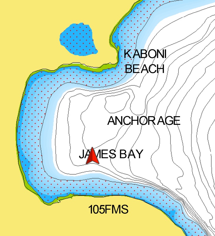
07-07 James Bay, Manitoulin Island


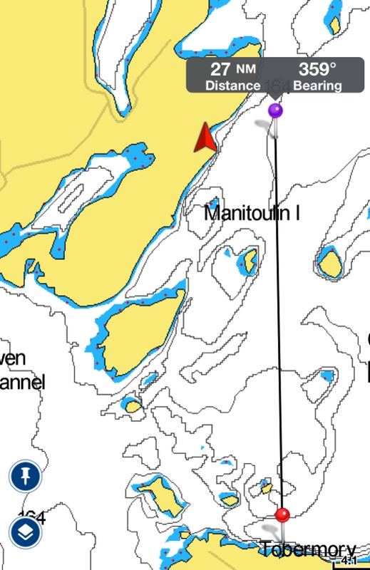
This is not as far as Killarney, the usual next stop from Tobermory, but it makes a much more leisurely day. On the way we passed the flower pots (exactly as advertised, and there are way better pictures on the web) and Club Island (where the harbour is just as uninviting as Ports would have you think).


Although not mentioned in Ports, it does show as a sandy bottomed, marked anchorage on the charts. The eastward exposure is obvious!

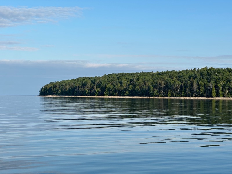
The bay seemed almost deserted, with deer disappearing back into the woods as we went by, the a couple of cars drove up to the beach and people went wading. I didn’t see anyone brave enough to swim. The lake temperature read 16.8C on the way here, which isn’t tempting me either!

Just after sunset the mosquitoes were intense, even 500m+ offshore. Button up tight!